Ethiopia – GIS
Lead Organization:
Ethiopian Institute of Agricultural Research
Community of Practice:
Countries:
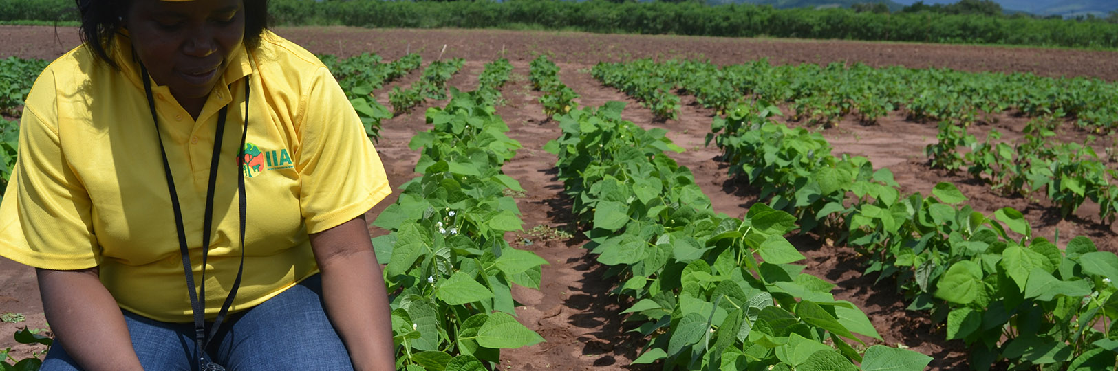
Mozambique
Duration:
12/2014—12/2015
Overview:
The overall objective of the project is to build the knowledge-base and skills of agricultural researchers at CCRP sites in Ethiopia and enable them to make use of Geospatial tools and techniques in their research efforts. This can be accomplished through improving their access to appropriate spatial information and tools; providing them with consecutive trainings on collection, analysis, and mapping of geo-referenced data in a way that strengthen their capacity to handle similar activities by their own in the future. The initial support intended to be delivered to CCRP researchers in Ethiopia will take the following form:Direct technical support: i.e. assisting researchers in mapping geospatial data they generated;Field demonstration on the use and operation of GITs and;Providing theoretical as well as practical hands-on trainings on advanced spatial analysis tools and techniques
Grant Aims:
Enhancing capacity in use of GIS in agriculture, consequently, there will be an improvement in quality of research work and dissemination of GIS-assisted research outputs;motivate researchers/projects within the country to use and institutionalize the Geospatial techniques adapted in CCRP-funded research projects;strengthening use of GIS tools to contribute to enhanced knowledge of socio-ecological niches, which will improve targeting of agricultural technologies for improved livelihoods of Ethiopians engaged in agriculture;advancing the Ethiopian GIS specialists’ skill/knowledge on geospatial analysis and use of free and open-source (FOS) GIS software and, enhancing the sustainability of research capacity in GIS;enhancing CCRP researchers’ technical skills in GIS techniques and GIS-based research activities (spanning planning, execution and upscaling).
Outputs and Outcomes:
GIS specialists’ skill/knowledge on advanced Geospatial analysis and use of FOS GIS software strengthened;Skills and knowledge in geospatial techniques and tools of CCRP researchers and GIS-based research activities that spans from planning, execution, evaluation, and reporting strengthened;Increased collection, use, and dissemination of geospatial data/information;Skill/knowledge transferred/shared to non-CCRP researchers through spill-over effect;Methods and techniques applied in the case-based research analysis can be shared and adopted by the wider scientific and non- scientific communities.Read more outputs of analysis and mapping support for CCRP-MF funded crops of Ethiopia